Description
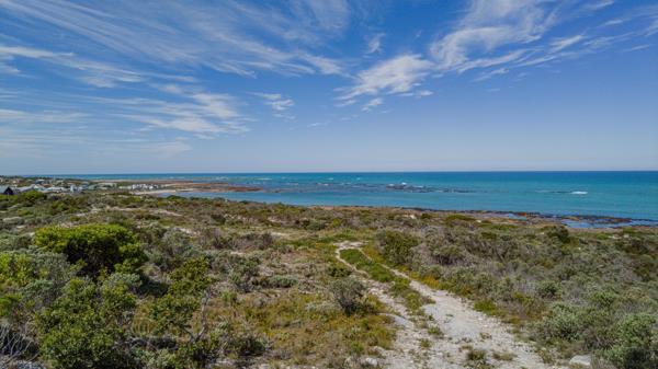
Closer to the ocean you cannot get! Opportunity for a property development with undisturbed views of THE MOST SOUTHERN TIP OF AFRICA!
Get your offer in Today!
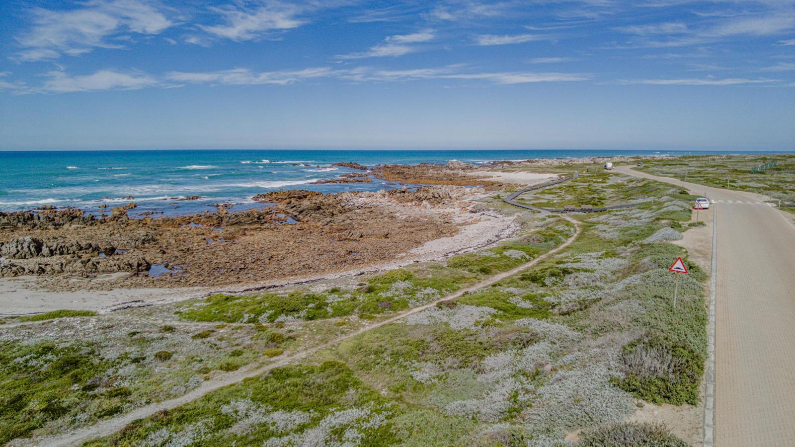
This is your chance to own the last piece of open land situated in Suiderstrand Struisbaai, Overberg district in the Western Cape. It is surrounded by the Agulhas National Park, home to vast diversity of mammals, reptiles, birds and the world-famous endemic fynbos.
This piece of land is 3.9ha in size, along this unique, gradually curving coastline with it''s spectacular beaches, rock formation and Blue Bay''s turquoise water. This is where the Atlantic meets the Indian Ocean and some of the best fishing spots in South Africa!
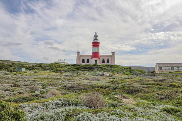
Cape Agulhus is a major tourist attraction it''s Lighthouse is more than 150 years old and the second oldest working lighthouse in SA.
Some History of the area:
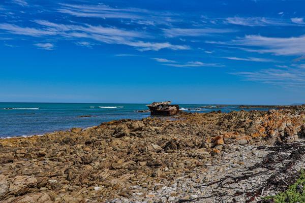
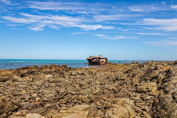
- Area is well known for the many shipwrecks that have occurred there.
- This piece of land needs one owner: someone who enjoys nature as it is, surrounded by large nature conservation areas.
- Only one piece of land is not owned by national conservation parks.
- Rock and beach fishing is some of the best in South Africa many fishing competitions for beach and deep-sea fishing are held here on a manual basis. Marlin and tuna angling are very popular in these waters.
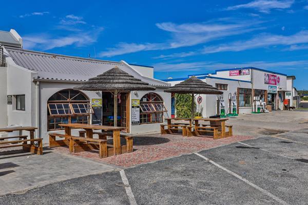
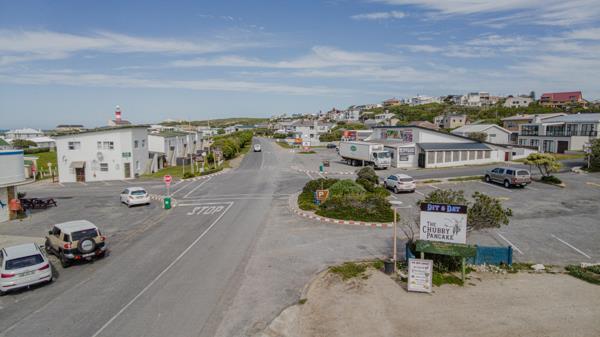
- The piece of land is situated next to Suiderstrand, the most southern small town in Africa, here the roads end on the African continent. There are water and electric hook-ups available from the Cape Agulhas municipality.
- There is a natural, safe boat launch available for small fishing boats.
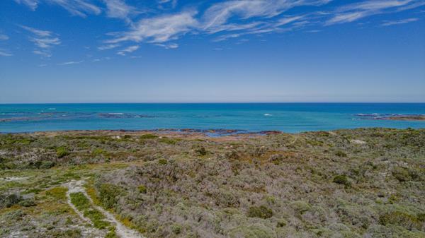
- The view from the dunes is spectacular the sea colours change every day. Winter''s storms are something to experience.
- The area is still zoned Z, meaning farmland. last piece of the original farm Papkuilfontein.
- Rezoning is possible but will be subject to environmental impact studies and permissions from local councils.
- Cape Agulhas, Africa''s southernmost point, is Portuguese for Cape of Needles. Historians think the name may be a reference to the needle-like rock formations and reefs along its coast.
- The Cape of Good Hope is located at the southern tip of the Cape Peninsula, which is also home to Cape Town, the legislative capital of South Africa. The Cape was originally named the Cape of Storms in the 1480s by the Portuguese explorer Bartolomeu Dias, 17 August 2019.
- A lighthouse was established there in 1849. The Agulhas Banks are excellent for trawling. The cape''s meridian 20 degrees East is the official boundary between the Indian and Atlantic oceans.
- The Strandlopers are a Khoikhoi-derived people who live by hunting and gathering food along the beaches of south-western Africa, originally from the Cape Colony to the Skeleton Coast.
Photo Gallery